 vesseltracker.com
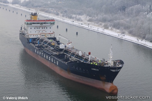
Find the position of the vessel GUNES K on the map. The latter are known coordinates and path.
marine traffic ship tracker show on live map
The current position of vessel GUNES K is 32.28704071044922 lat / 164.1282196044922 lng. Updated: 2025-05-22 16:41:27 UTCCurrently sailing under the flag of Marshall Islands
GUNES K built in 2009 year
Deadweight:
19987 tDetails:
Last coordinates of the vessel:
2025-05-22 16:41:27 UTC, 32.28704071044922, 164.1282196044922, course: 62, speed: 30.6